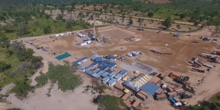


Metatek-Group Limited, a worldwide airborne geophysical survey specialist based in the United Kingdom, is currently conducting an eFTG survey over an area of nearly 2,200 square kilometers (540,000 acres) in ReconAfrica’s 25,000 square kilometers (6.3 million acres) PEL073 exploration license in north-eastern Namibia. The airborne component of the survey is expected to be completed by April 21, 2023.
The eFTG is the world’s most advanced high resolution airborne gravity survey which specifically allows earth scientists to identify changes in sub-surface rock density with the goal of highlighting stratigraphic or structurally controlled hydrocarbon traps. More specifically, this relatively new technology is a sophisticated application of gravity techniques that not only adds three-dimensional detail to subsurface images but is also capable of differentiating the geometry at different litho-stratigraphic levels (layers of rock) below the Earth’s surface.
Once acquired and processed, the 2,200 sq km survey will be integrated with the Company’s existing 2D seismic data, which greatly enhances ReconAfrica’s capacity to extrapolate structural geometry in three dimensions.

eFTG Survey Acquisition
As previously announced in the December 22, 2022 news release, the eFTG survey is being carried out using a modified and upgraded DC-3 turboprop aircraft, which has been specially fitted with the eFTG instrumentation. This instrument is a state-of-the-art 4th generation gravity gradiometer designed and manufactured by an American aerospace company and represents a significant enhancement in sensitivity and resolution compared to its nearest competitor.
In addition to eFTG, gravity and magnetic data, the survey aircraft is also fitted with a scanning LiDAR system that will provide a highly accurate terrain model and vegetation map within the survey area. This valuable database can be used as a baseline for environmental monitoring purposes and contribute to mapping of vegetation health for arable crop production.
Survey lines are being flown every 600m in a northwest/south-east direction, and tie lines will be spaced every 3km in a north-east/south-west direction. This airborne exploration approach has a low environmental footprint with minimal impact on the local communities.