


TGS, a global provider of energy data and intelligence, has announced the completion of the Dawson Phase III 3D multi-client seismic survey in the Western Canadian Sedimentary Basin. This new survey covers 141 square kilometers and has been merged with the existing Dawson Phase II 3D to the north and west.
All processed products are now available. The project has utilized TGS’ Phase and AVO-compliant processing flow to enable precise subsurface imaging and valuable insights for operators developing Montney resources.
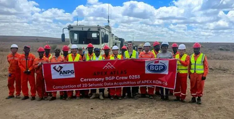
“The Dawson III 3D survey marks an important step as our first new multi-client seismic project in British Columbia since 2019,” said David Hajovsky, Executive Vice President of Multi-client at TGS. “Through the application of modern seismic imaging techniques and close collaboration with First Nations to minimize environmental impact, we continue our commitment in delivering high-quality, industry-leading data that supports informed decision-making in one of Canada’s most active formations.”
The Dawson III 3D seismic survey, supported by industry funding, has been integrated with existing TGS data to offer greater subsurface understanding in the region. The project incorporates 291 wells and 191 LAS logs, further refining the dataset and offering valuable insights for operators in the Montney Formation.